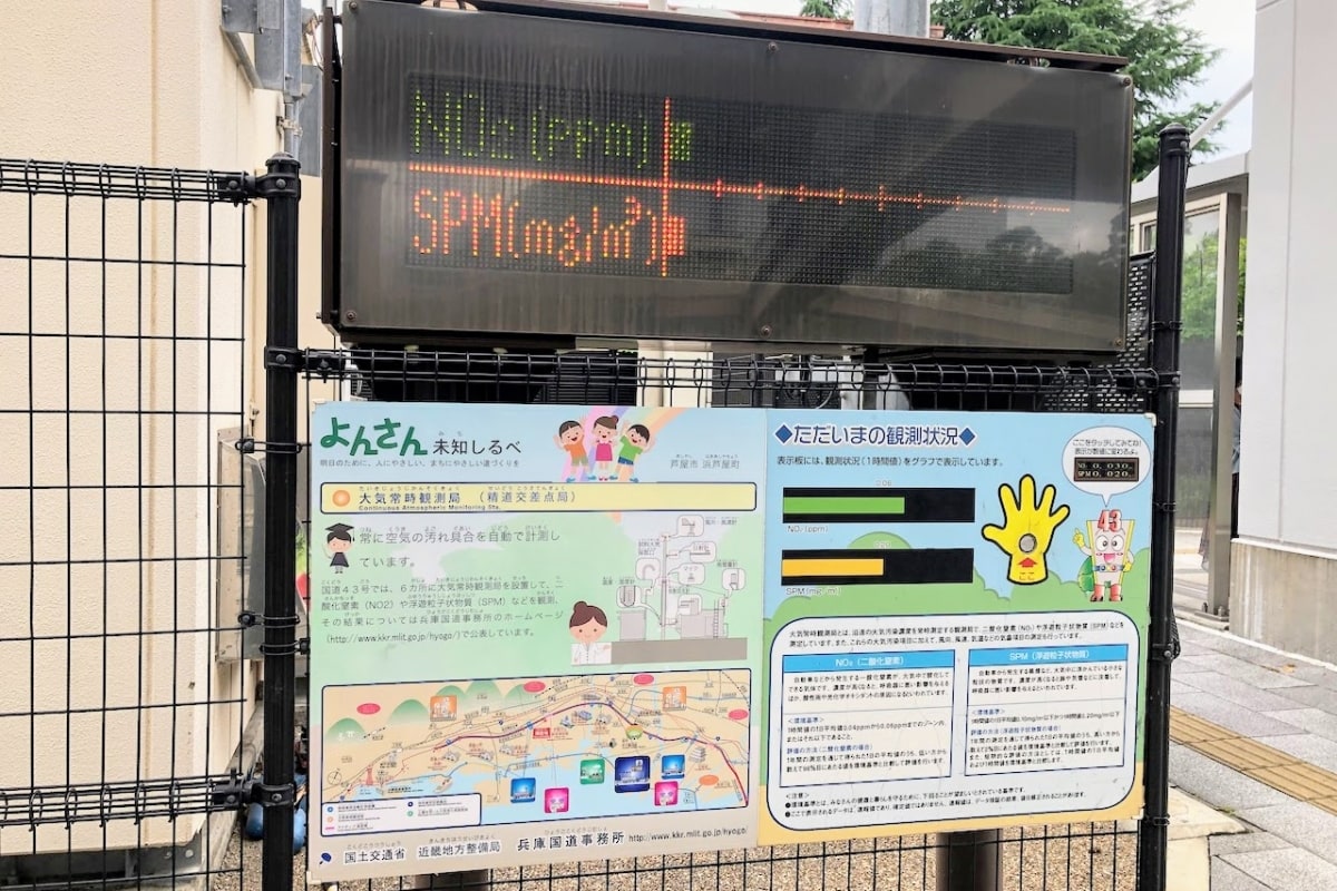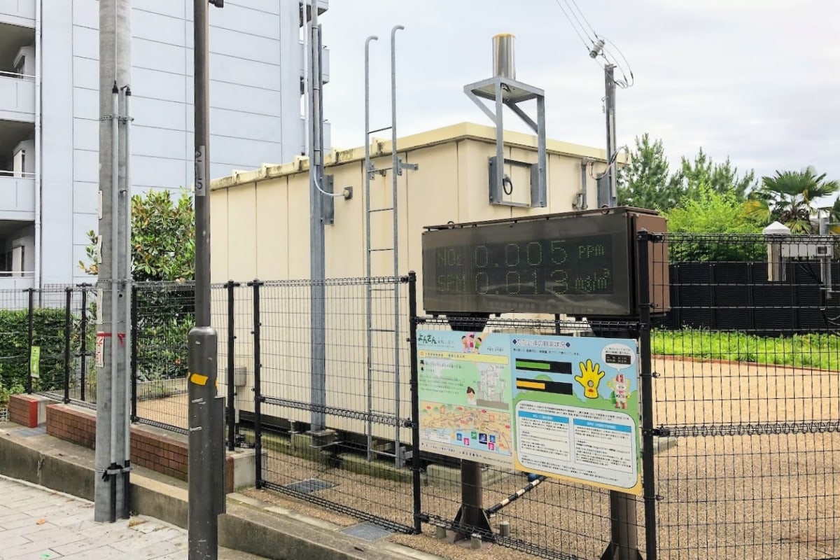
Along National Route 43, at the Seido intersection, there’s a place where you can “see how dirty the air is.”

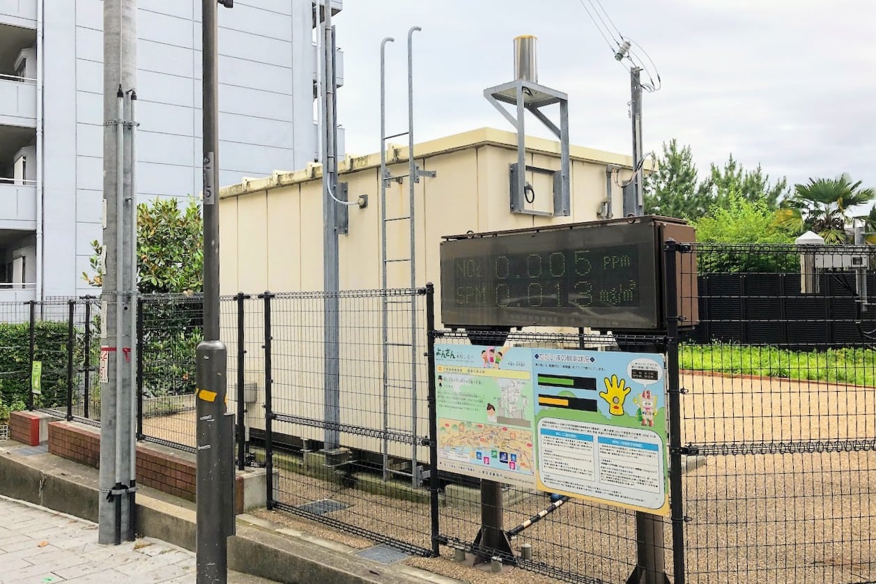
↑ Here it is.
There’s some kind of mysterious electronic display board…

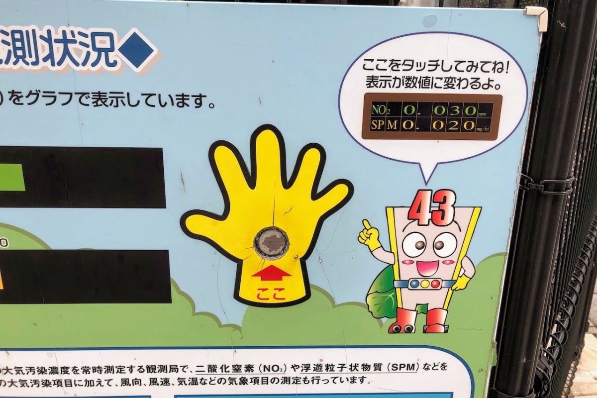
When you touch this button…

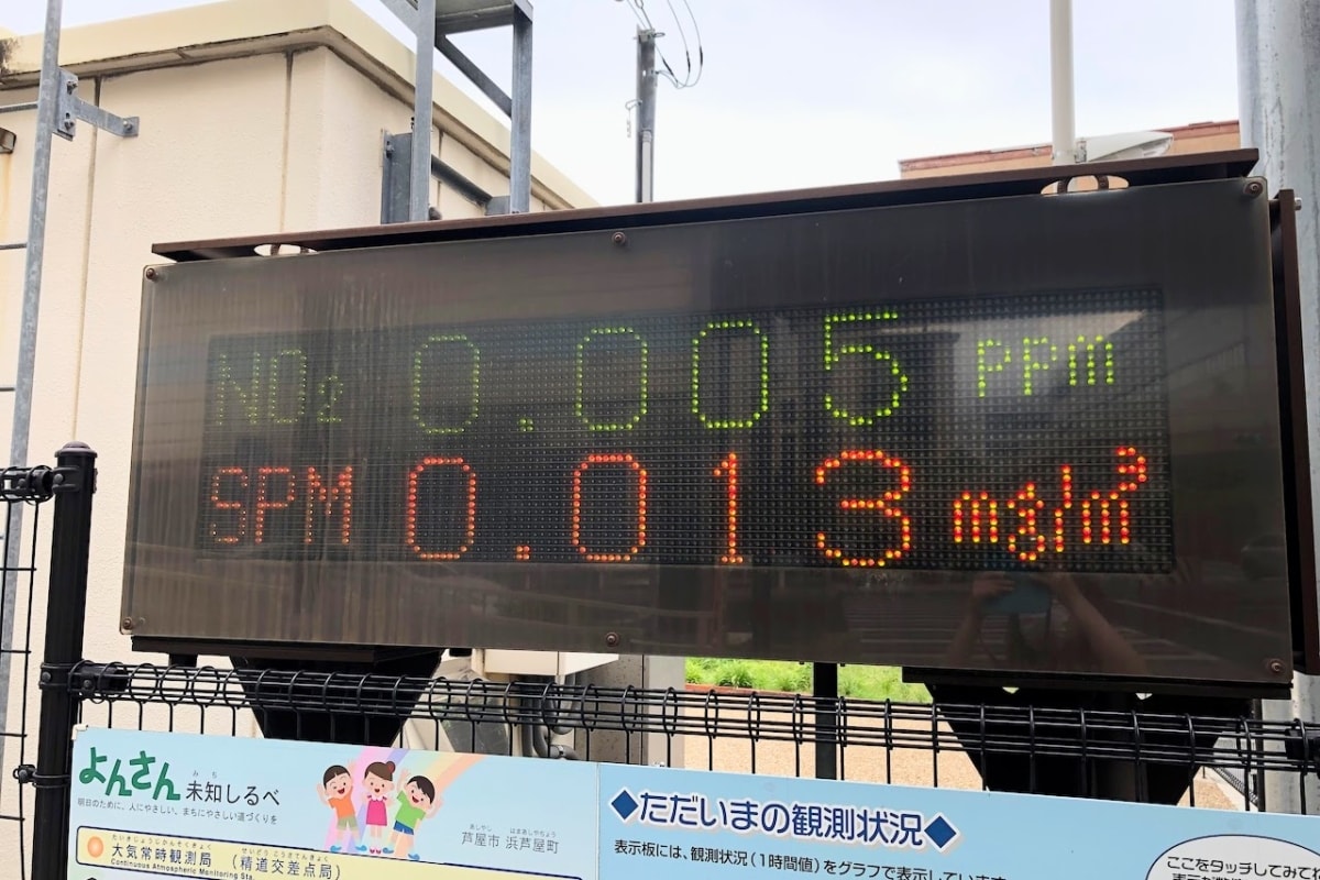
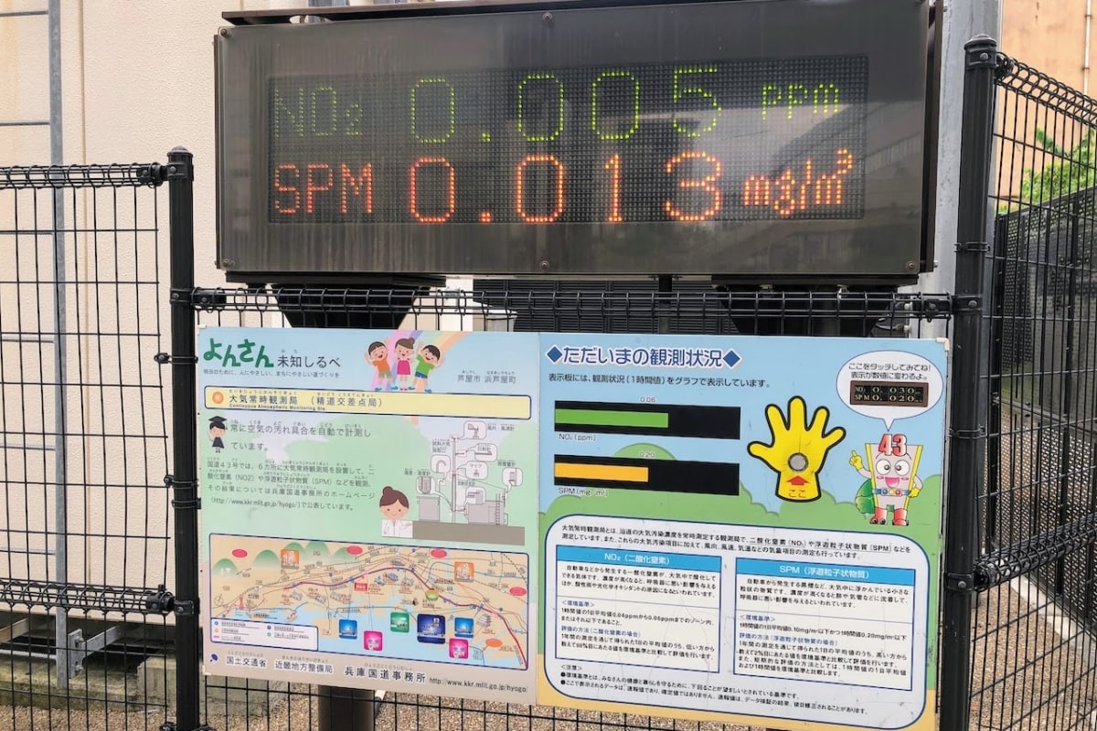
Whoa! There it is! The current air pollution levels are…
NO2 0.005ppm
SPM 0.013mg/㎥
…Hmm? So what exactly does that mean???

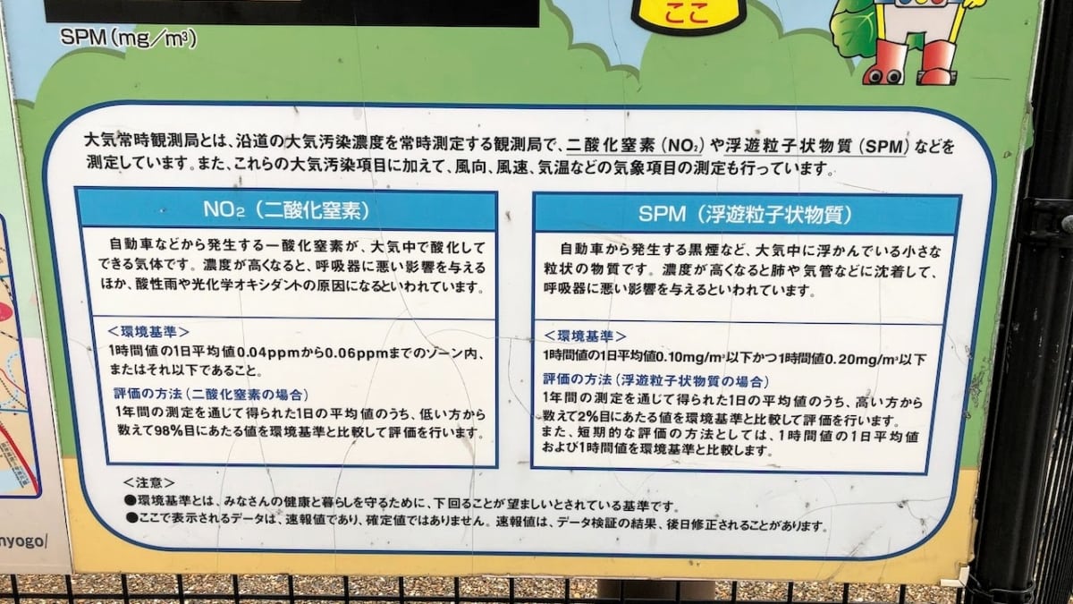
Reading the panel more closely, “NO2” refers to nitrogen dioxide, and “SPM” refers to suspended particulate matter.
The environmental standards are apparently “a daily average of hourly values within or below the 0.04ppm–0.06ppm range” for NO2, and “a daily average of hourly values of 0.10mg/㎥ or less, and an hourly value of 0.20mg/㎥ or less” for SPM.

So does that mean these numbers are just barely okay by environmental standards?
Maybe because it was daytime and there was a lot of traffic, the SPM level feels a little on the high side.

If you observe it every day, it might even work as a summer research project for kids.
That was the “Atmospheric Continuous Monitoring Station (Seido Intersection Station),” a place where you can see the “air pollution” you’re curious about!
On the map, it’s around here↓
The address is around 2-chome Hamaashiya-cho, Ashiya City, Hyogo Prefecture.